Pinnacles Regional Gold PROJECT
Nexus Minerals Limited secured a highly prospective package of ground in the Eastern Goldfields in April 2015.
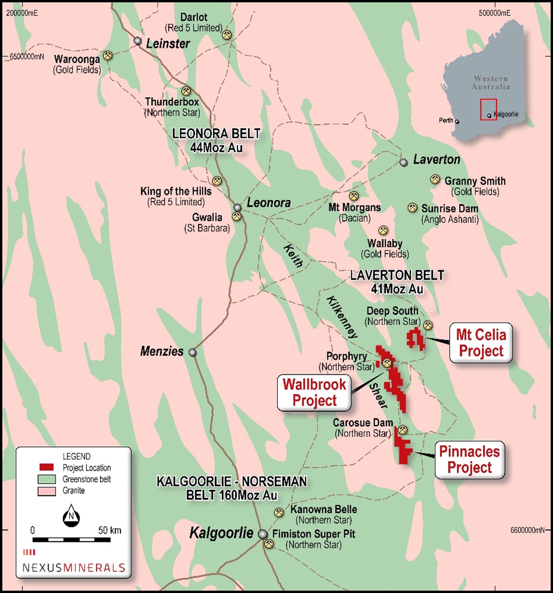
The project, which covers 125km2, is located approximately 100km northeast of Kalgoorlie.
Location
The combined Pinnacles Gold Project area covers 125km2 of highly deformed Archaean greenstone sequence of basalts, dolerites, and co-magnetic high-level intrusions. This mafic volcanic association is overlain by a series of medium to coarse grained volcaniclastic sandstones and subordinate felsic volcanic rocks.
These greenstones have been intruded and disrupted by the forceful intrusion of a series of granitoid rocks. This geological and structural setting is considered to be highly prospective for gold mineralisation.
Geology
The Pinnacles Project tenements cover approximately 125km2. The tenement area is immediately to the south of Saracen’s Carosue Dam mining operation, which includes the Karari underground gold mine, currently in operation. The Carosue Dam district exhibits a large scale mineralised hydrothermal gold system having produced multi-million ounces of gold to date, and still today contains >5Moz gold in regional resources.
The geological setting provides for a location between two large granite batholiths, where the basal sequence of basalt and dolerite is overlain by a volcanoclastic sedimentary sequence. Structurally, the Project is within a major regional shear zone, with the Yilgangi Fault (the southern extension of the Keith-Kilkenny Fault) and numerous large scale north-south regional structures evident. The district represents a large Archaean intrusion related alteration system that hosts significant gold mineralisation.
Historic Workings
No historic workings exist on the tenement package.


